Navigation*–Real Time Traffic Information (RTTI)
Information about current traffic situations is gathered continuously from mobile apps, public service sources and GPS data from the vehicle. When a vehicle requests information about the flow of traffic, anonymous data about the traffic situation in the vicinity of the vehicle is provided, which helps enable RTTI to function. This data is only transmitted if RTTI is activated.
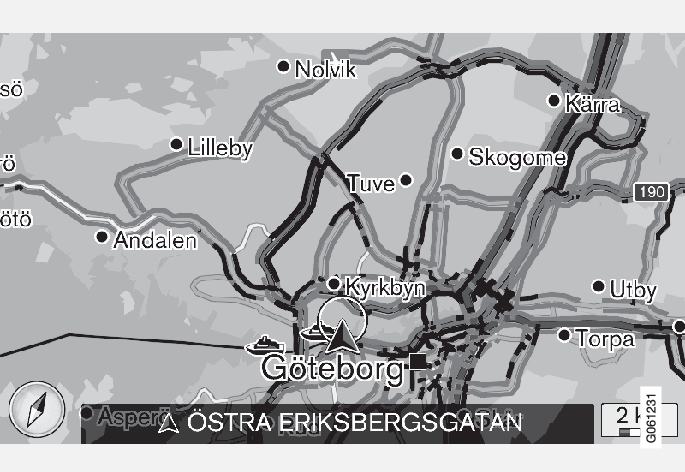
Current traffic information is shown for highways/freeways, major roads, secondary roads and in some cases for urban routes.
The amount of traffic information shown on the map depends on the distance from the vehicle, but not farther than approx. 75 miles (120 km) from the vehicle's current location.
Text and symbols on the map are displayed in the usual way and the traffic flow shows how fast traffic is moving on a given road compared to the posted speed limit. Traffic information is shown in both directions on a road with a colored line in each direction:
- Green: traffic flowing smoothly
- Orange: slow-moving traffic
- Red: traffic tie-up/accident
Note
Traffic information is not available in all areas/states/provinces.
The transmission range for traffic information is being increased continuously.